DESCRIPTION
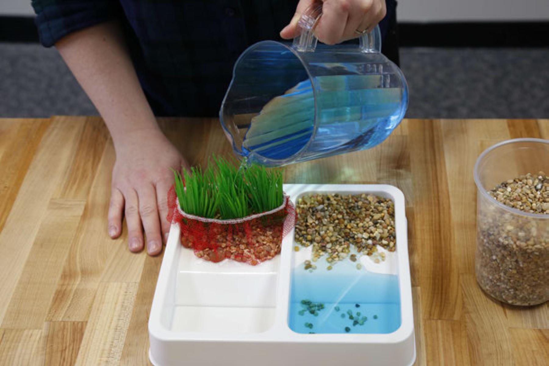
This activity models some of the ways natural processes, such as erosion and sediment pollution, affect Earth’s landscape. Data collected from satellites, such as the joint NASA/USGS Landsat satellites, help improve our understanding of Earth’s land cover. Orbiting Earth, these satellites monitor changes to land cover to help scientists predict changes due to runoff and erosion, and plan for the future.
DESCRIPTION
This activity models some of the ways natural processes, such as erosion and sediment pollution, affect Earth’s landscape. Data collected from satellites, such as the joint NASA/USGS Landsat satellites, help improve our understanding of Earth’s land cover. Orbiting Earth, these satellites monitor changes to land cover to help scientists predict changes due to runoff and erosion, and plan for the future.
TRAINING VIDEOS
OBJECTIVES
BIG IDEA
The movement of water over a landscape is a constant force of change.
LEARNING GOALS
- Different types of land cover interact with water moving over the landscape in different ways.
- NASA scientists use observations from Earth and space to monitor changes and make predictions about the future of our planet.
DOWNLOAD FILES
- Exploring Earth: Land Cover facilitator guide (PDF)
- Exploring Earth: Land Cover activity guide (PDF)
- Exploring Earth: Land Cover "Looking Down on Earth" info sheet (PDF)
- Exploring Earth: Land Cover "Landslides" info sheet (PDF)
- Exploring Earth: Land Cover "Map Your Backyard" worksheet (PDF)
- Exploring Earth: Land Cover table sign (PDF)
- Globe Observer handout (printable PDF)
- Exploring Earth: Land Cover activity guide (Spanish) (PDF)
- Exploring Earth: Land Cover "Looking Down on Earth" info sheet (Spanish) (PDF)
- Exploring Earth: Land Cover "Landslides" info sheet (Spanish) (PDF)
- Exploring Earth: Land Cover table sign (Spanish) (PDF)
- Exploring Earth: Land Cover "Map Your Backyard" worksheet (Spanish) (PDF)
BROWSE RELATED RESOURCES
Credits
Arizona State University
This material is based on work supported by NASA under cooperative agreement award numbers NNX16AC67A and 80NSSC18M0061. Any opinions, findings, and conclusions or recommendations expressed in this material are those of the author(s) and do not necessarily reflect the view of the National Aeronautics and Space Administration (NASA).
Creative Commons Attribution Non-Commercial Share Alike 3.0 United States (CC BY-NC-SA 3.0 US).
View more details
![]()
NISE Network products are developed through an iterative collaborative process that includes scientific review, peer review, and visitor evaluation in accordance with an inclusive audiences approach. Products are designed to be easily edited and adapted for different audiences under a Creative Commons Attribution Non-Commercial Share Alike license. To learn more, visit our Development Process page.